-
›
-
›
Protected Bike Lanes:
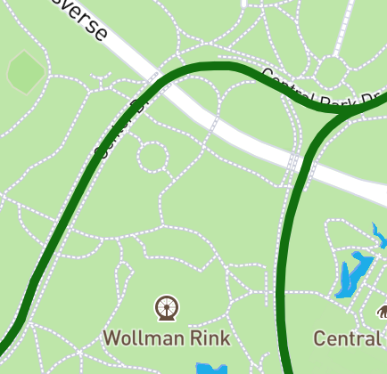
Protected Bike Lanes include all dedicated bike lanes that are seperated from vehicular traffic.
On-Street Bike Lanes:
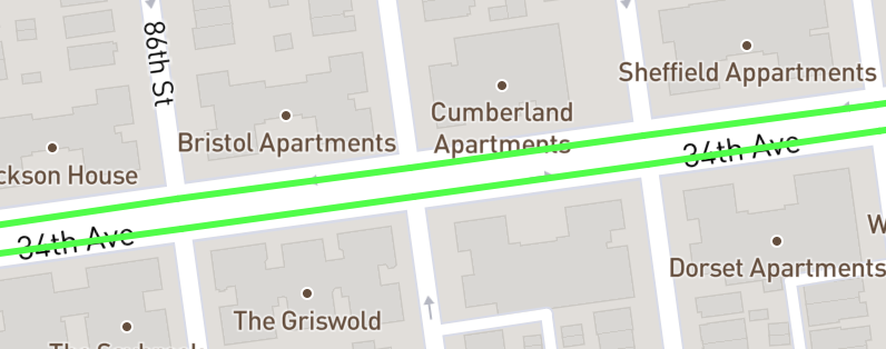
Standard Bike lanes that mix with vehicular traffic.
Sharrows:
Marked routes mixed with vehicular traffic.
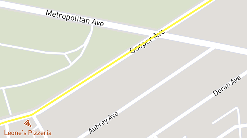
Temporary Bike Lanes:
Temporary bike lanes were implemented during the Covid-19 pandemic by NYC DOT. The conditions of these lanes are oftentimes variable and many have not been maintained properly.
Open Streets:
Open streets are streets that were closed to vehicular traffic during the Covid-19 pandemic. Some open streets are not closed to vehicular traffic at all times.
Citi Bike Docks:
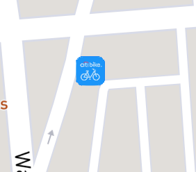
Citi bike dock locations, updated July 2021. Learn more about Citi Bike here.
Bike Shelters:
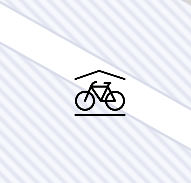
There are a few dedicated bike shelter locations located throughout the city. Find out more here.
Standard Bike Racks:
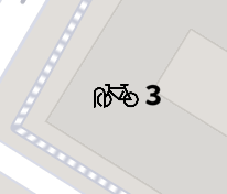
Publicly availible bike racks with capacity.
ADA Acessible Stations:
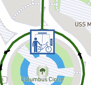
Stations with ADA acessible facilities. This usually means it's a lot easier to take your bike on the train. Learn more about taking your bike on public transit here.
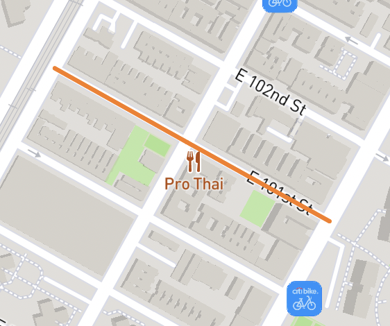
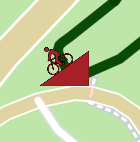
Walk Bike:
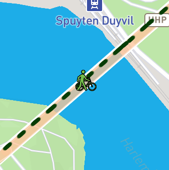
Areas where you are supposed to dismount and "walk" your bike.
Stairs:
Be prepared to carry your bike up/down stairs.
Steep:
Steep areas: use caution when riding downhill and in inclement weather conditions.
Important Information:
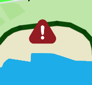
Important Information about an area.
Information:
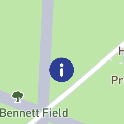
Information about an area.
Want to see more icons? Let us know here.
Follow @nyc_bike_map
Star On Github


NYC Bike Map v1.3.1